(posted on behalf of Gordon Kyle)
Enjoy more – trudge less. Using the club’s Mosaic gate key got us within a km of the Castlecrag Mtn trail, eliminating the walk in and back out through Paradise Meadows.
This trip was to be a relaxing ramble instead of a goal oriented hike, and the weather generally cooperated thoroughly. Four members inquired about it but didn’t want to spend seven days for what is normally a three or four day hike, which is understandable, so just Neil Han and I did it. Over the first day and a half we only saw a few other hikers doing Castlecrag but after nipping over Mt Frink to Albert Edward’s main approach ridge it got busier as one would expect.
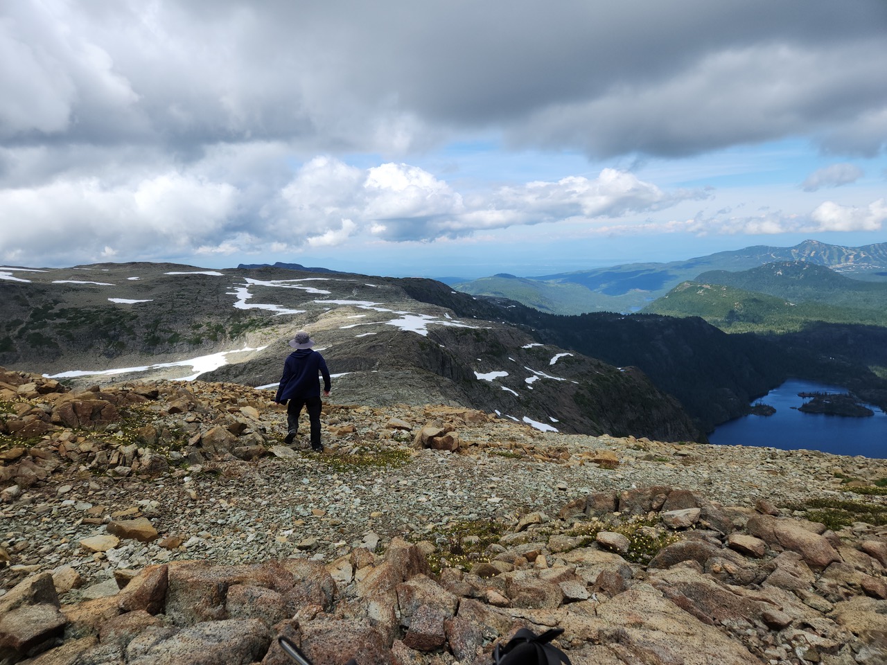
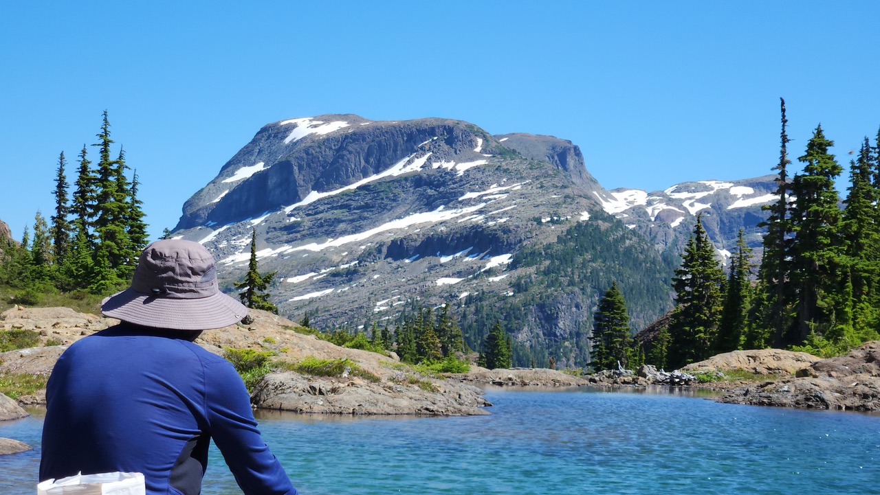
Once past AE and down its south ridge we encountered only two pairs of people doing the full Augerpoint traverse. There are good camping spots down this ridge and there was even still water in a couple spots. From here we day tripped west to beautiful Ruth Masters Lake and back to camp. The trail is obvious enough and it’s steep down to the col and up to the lake, with a couple steps some folks would need help on.
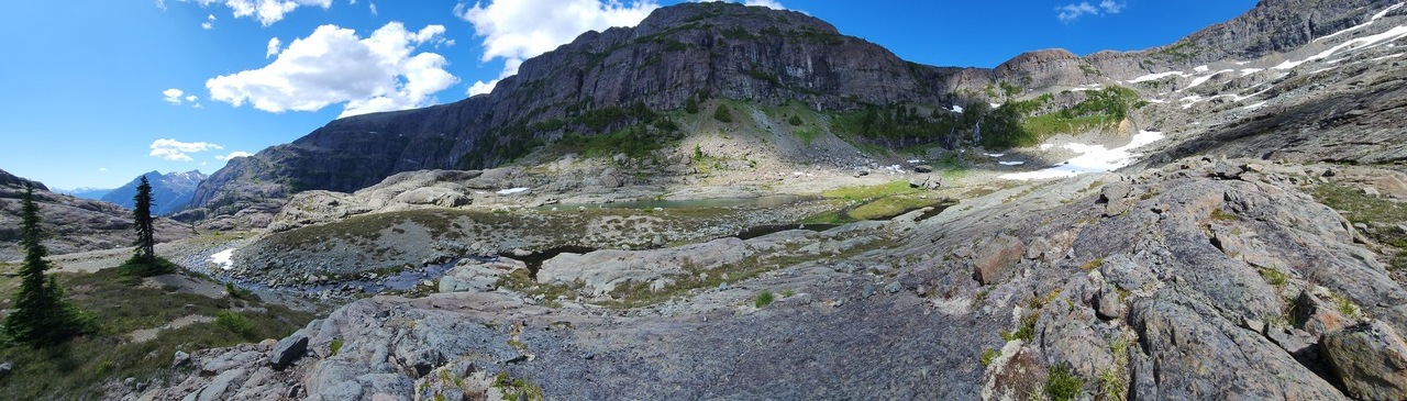
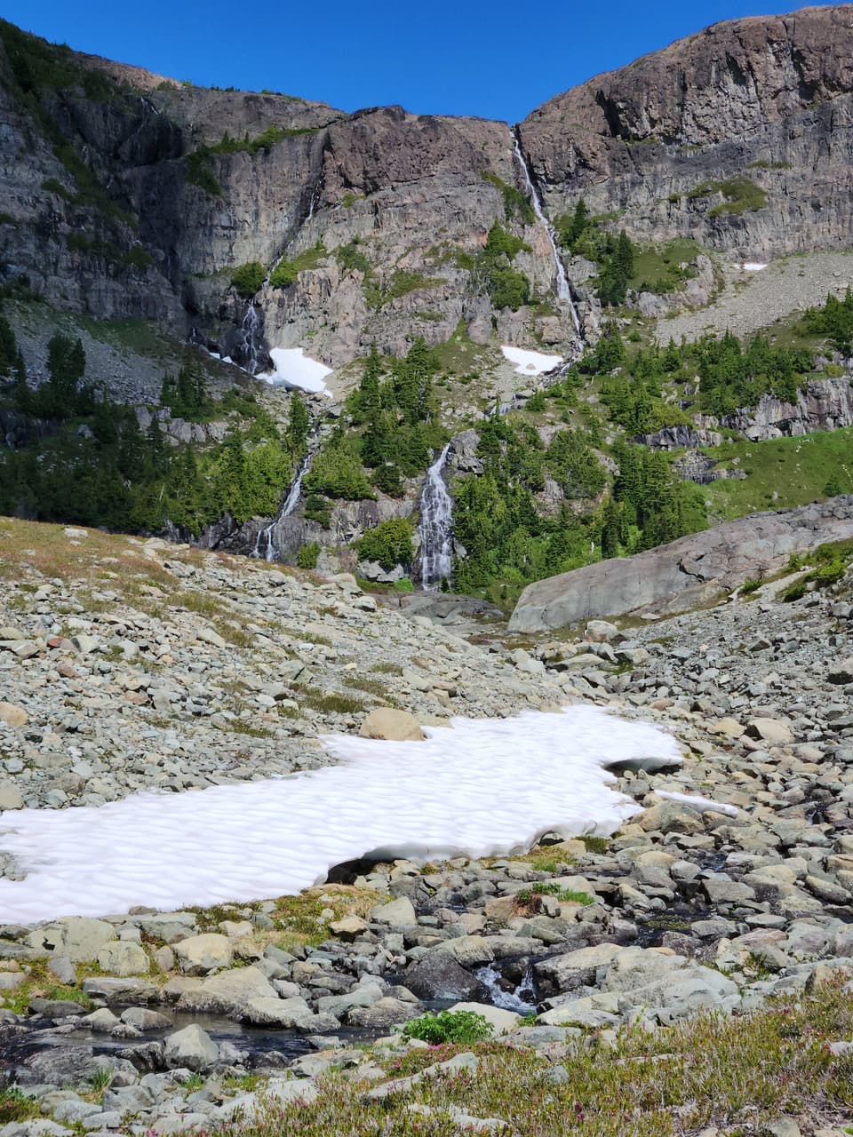
One benefit of using our Mosaic logging road access is that there’s no need to hike down the 1200m to Buttle Lake or arrange return transportation from there. We stayed high and next day we took an exit ramp off the ridge eastward toward Hope Lake, not knowing for sure if it connected. This was the main reason I wanted to hike here – to see if it connected through to Mt Frink. We didn’t find the easiest way necessarily but it connected and brought us to pristine Hope Lake. Amazing but there was no sign of human presence here. The delicate streamside plants weren’t trodden and the open parts had no human footprints. If others come here I hope we all make an effort to avoid damaging this last refuge of undisturbed nature. For our part we went to the open upper part of the cirque to camp, surrounded by cliffs, waterfalls, and an easy snow walking route to Frink!
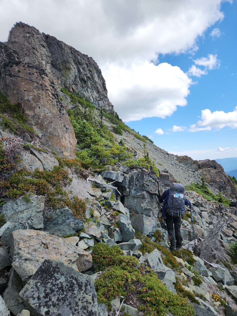
Next morning after reaching the west shoulder of Frink we side-hilled along the south slopes on ugly steep gravel & scree paralleling about 100m below the summit ridge, having faith that we’d find the access gulley up, that’s used for access from Frink to George V. Of course we saw it, and of course we ignored it in search of other arcane access routes to the top (not recommended). Once
summited we decided to spend one more night on top. Seeing dark clouds coming in from the west we fortunately picked a sheltered spot for what turned out to be wind, hail & lightning which only lasted an hour or so.
From there it was easy walking and some downhill bushwacking to the logging road and nearby vehicle.
For multi-day trips or even day hikes our gate key is excellent for easy access to the mountains.